
India has raised concerns with the United Nations over the depiction of Arunachal Pradesh and Aksai Chin in a recently circulated UN world map, with the Ministry of External Affairs (MEA) describing the representations as anomalies.
The map, published by the United Nations on July 1, 2026, depicts Arunachal Pradesh and Aksai Chin as separate regions positioned between the respective Indian and Chinese claim lines. In the case of Arunachal Pradesh, the map does not show its boundary with Nagaland and instead presents the region between Assam and China. Aksai Chin is similarly shown separately between Indian and Chinese claim lines.
Editorial Insight
Key Highlights
Important points readers should notice.
Issue/Event: India objects to disputed-territory depiction in UN world map
Location: Arunachal Pradesh and Aksai Chin / India-China border region
Authority/Organisation: Ministry of External Affairs (MEA) / United Nations
Action Taken: India raised the map-related anomalies with concerned UN officials/persons
Impact: The depiction has triggered fresh diplomatic and geopolitical attention over India-China territorial claims
India maintains that Arunachal Pradesh is an integral part of India, while Aksai Chin is regarded by New Delhi as part of Ladakh.
The development has gained attention because it came shortly after India supported a United Nations General Assembly resolution on improving the geographical representation of countries and regions on world maps.
However, the Indian government has made an important distinction: support for the UN resolution did not mean endorsement of the specific map or its depiction of India's territorial boundaries.
Editorial Analysis
Why This Matters
The issue is significant because maps used by international organisations can carry diplomatic and political sensitivity, particularly when they involve territories subject to competing claims. India's response also reinforces its position that supporting a cartographic resolution does not amount to accepting any representation that conflicts with its stated territorial boundaries.
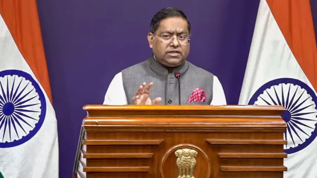
MEA spokesperson Randhir Jaiswal said India's support for the resolution was based on the principle of promoting equal-area cartographic representation and should not be interpreted as approval of any particular map.
The MEA has reiterated that India's sovereign territory, including the Union Territories of Jammu and Kashmir and Ladakh, must be depicted according to India's official map. It has also said that inaccurate or misleading representations are unacceptable.
The United Nations has not publicly provided a specific explanation for the particular depiction of Arunachal Pradesh and Aksai Chin in the map, according to current reports.